 |
| Croker Hill looking North Towards Shutlingsloe |
A 6.5 walk from Bosley reservoir with some uphill is this walk over up the nearby Croker Hill onto Sutton Common and then back along the ridge between Wincle Minn and Bosley Minn.
Parking by the reservoir dam, walk past the first gate onto the dam and continue up the road to the second gate, then walk along the reservoir bank, passing onto the single track road at the fishing club car park and then back onto the reservoir path at the next gate, and continue until the path climbs up to the style onto the main road. Turn right onto the main road and walk the 100 or so metres up the road until you find the signposted track off to the left.
With the farm above on the right the path separates from the track before a gap between fields, the style is to the right of the gap, passing over this style, the path heads right to another style and towards the farm. There is a marked diversion heading across the field to another style to avoid 'friendly but boisterous' dogs. At the next style head up the road and follow this onto the hill, good views are available from the top of the hill, continue past the radio mast until the path on the left through the farmyard.
Follow this path downhill to the main road where you turn left for a short distance before finding the track on the right heading uphill, this track becomes a road and continues along the length of the ridge.
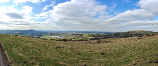 |
| West from the ridgeline, Bosley Cloud to the left, with Bosley Reservoir and Croker hill on the right. |
As the road descends there is a seat with a footpath sign on the right, this is the first of a few paths that head off the Minn heading for the path that heads down the hill, a couple of other paths further on the road also meet this path, choose one and then follow these downhill, through a farmyard and back onto the single track road by Bosley Reservoir, turn right and return to the car.
 |
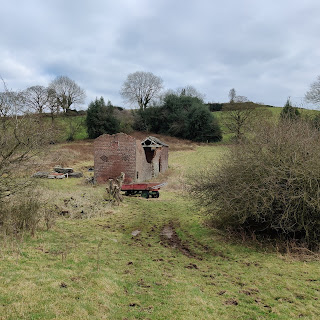
| Muddiest part of the walk. |
No comments:
Post a Comment